

-
 Get UpdatesGet notified on education trends, resources, and growth opportunities!
 -

-


 Click it and Unblock the Notifications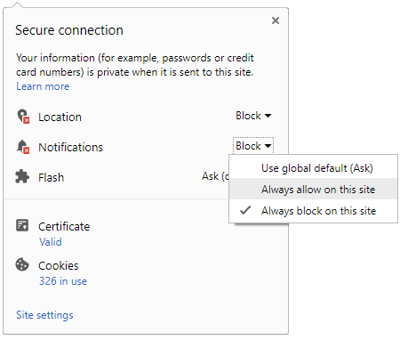

Pennsylvania State Univ Offers Course On Maps, Geospatial Revolution

The Pennsylvania State University is offering an online course on geospatial technology and analytical methods.
The course helps student to learn the advances in geospatial technology and analytical methods and enables to discover how to make maps and analyse geographic patterns using the latest tools.

About the course:
The course brings together core concepts in cartography, geographic information systems, and spatial thinking with real world examples to provide the fundamentals necessary to engage with geography beyond the surface level.
It will explore what makes spatial information special, how spatial data is created, how spatial analysis is conducted, and how to design maps so that they're effective at telling the stories that are wished to share.
To gain experience using this knowledge, we will work with the latest mapping and analysis software to explore geographic problems.
Course Syllabus:
- The Geospatial Revolution: Highlights the massive changes in geospatial and mapping technology in recent years and their impact on people from all walks of life.
- Spatial is special: An exploration of spatial thinking and geographic thought provides the context necessary to understand the underpinnings of the Geospatial Revolution.
- Spatial data: How spatial data is created, what makes it different from other types of information, and how is it managed using new technologies.
- Spatial analysis: Basic techniques for solving geographic problems that take spatial relationships into account.
- Cartographic design: Fundamentals to design great maps to tell stories about geographic patterns.
Prerequisites
- Course does not have any particular prerequisites. Anyone can join irrespective of their backgrounds. If the candidate is from the Geospatial background he/she might find this course as basic.
- Course length: 5 weeks
- Course starts on: March 25
To register click here
- Block for 8 hours
- Block for 12 hours
- Block for 24 hours
- Don't block

 Continue with Google
- Male
- Female
- Others
- Under 18
- 18 to 25
- 26 to 35
- 36 to 45
- 45 to 55
- 55+